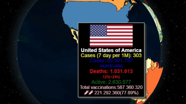
What is Country finder? Country finder is an Interactive 3D countries map as you have never seen it. All countries in a spectacular World interactive 3D map. If you want to see a clickable map of world countries and locate a country, on this website you can do it.

Interactive 3D country map
Map of world countries
The map above is a political map of the world. It shows the location of most of the world’s countries and includes their names where space allows. In this Interactive 3d map you will find country by country in a clickable map of world countries. If you need a site that allows you to browse the countries of the world with all the necessary information about the country in infoworldmaps.com you will find.
How works this Country finder?
A World Map is a representation of all continents and countries in the world. You can search a country by name or you can move 3D globe to find your country.
The 206 listed states of the United Nations depicted on the world map are divided into three categories: 193 member states, 2 observer states, and 11 other states. The 191 sovereign states, are the countries whose sovereignty is official, and no disputes linger. There are 15 states under the category of “sovereignty dispute”. There are 5 member states, 1 observer state and 9 other states.
How to use a countries map?
You can use this free map of the World with the names of all countries, territories and major cities, with borders. Zoomable political map of the world in our 3d countries map. You can use this map for information, play games as countryle or worldle.
The list of polygon shapes to represent in the polygons map layer. Each polygon is displayed as a shaped cone that extrudes from the surface of the globe.


Leave A Comment